
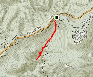
We hiked this trail on Easter Morning. It’s a 3.4 mile in and out hike down to two waterfalls, the second being the larger one. It is located at Mile Marker 81 in Shenandoah National Park.
The upper waterfall is about 28 feet high and the lower waterfall is 63 feet high. The trail is quite unique as instead of bringing you to the base of the falls as most hikes do, it takes you to the top of the falls and you hike down alongside them.
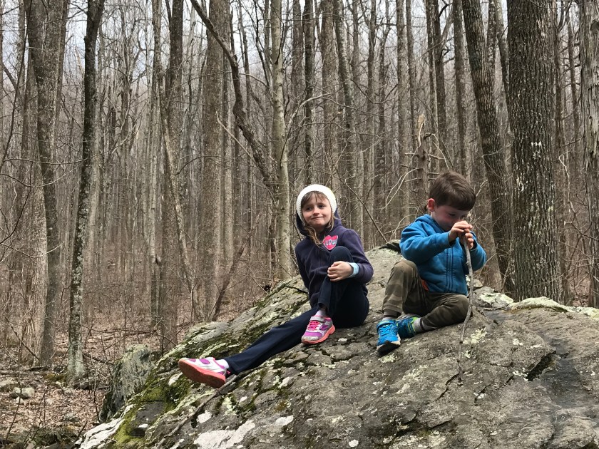
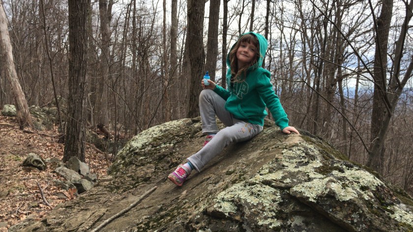
We’ve heard about bear sightings in Shenandoah National Park but only found some tracks down by the base of the upper falls. There’s a nice pool at the bottom there and the bears must drink and maybe even swim there. If the weather was warmer you’d bet we’d be in playing in there as well, although not the same time as the bears.


Like I said, it’s a beautiful hike DOWN to the waterfalls but on the way back you have to climb the 1,181 feet back up to the parking area. The hike was totally worth it but the trek up had some of our party a little grumpy.


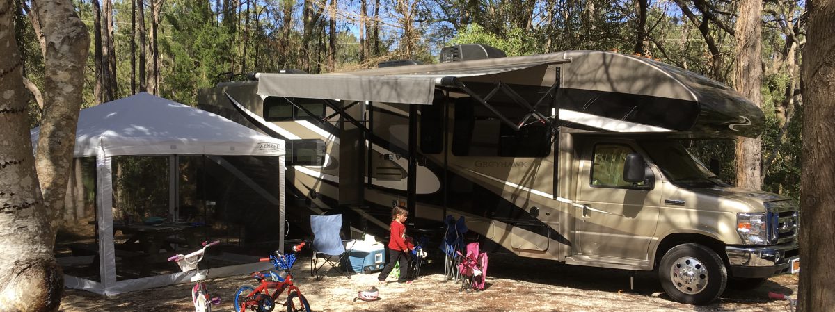
Thanks for stopping by and check out our video of the hike below. Stay tuned as we’ll take you along in our second half of our Spring Break Vacation to Jellystone Park in Luray, Virginia.
